The volcanic past of Oregon has caused so many different shapes in Central Oregon. I so wish I knew more about it and how each rock was formed so if anyone knows info it sure would be nice if you would comment.
The palisades of Central Oregon are probably the most known rock formations that people like to see especially the ones around The Cove State Palisades Park.
The Cove is known all over the northwest and a favorite designation for campers in the summer for fishing and water skiing and house boat rental.
These rocks show that they really aren't one rock but several layers of different volcanic events.
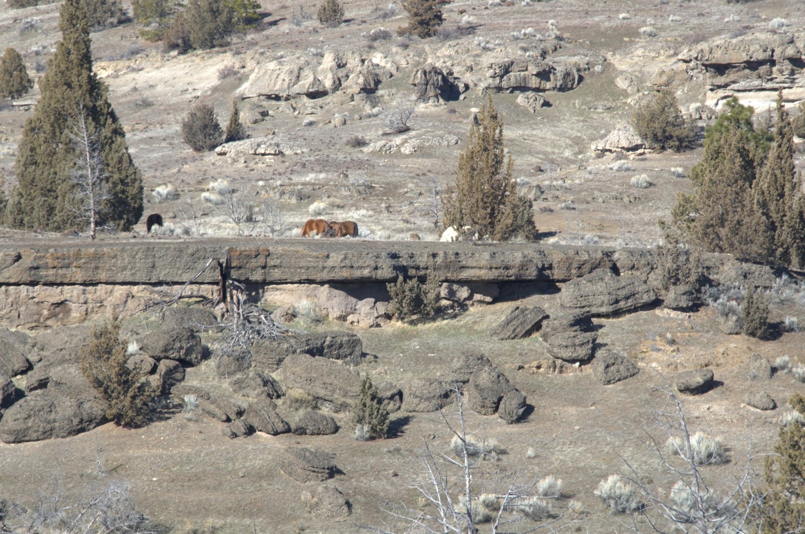
This photo shows you how rocky some of our hillsides are. As a child on a farm in this country all of us hated picking rocks every spring. I guarantee that they grow every year. You pick them and by fall a whole new crop has arisen. It is a never ending battle. You can see from the wild horse that there still is a lot of feed for the wildlife as this horse is in good shape from someplace you would swear has nothing on it but rocks.
A view of one of the most prominent mountains and the mountain our county "Jefferson" was named after. It shows the mountain and the cinder hills from our volcanic past.
These photos reminded me of a road that was built by man but it is a lava flow in this area that is so level and the same thickness clear across this section of hill.
After all the dry and rock it is a surprise to come around the corner and see a beautiful little creek running down through the sagebrush. What a welcome relief for the explorers and settlers though the Native Americans were well aware of where the water was at and that this was not a dried up useless area.


No comments:
Post a Comment